Why is there no address?
La Sig can be fairly difficult to find. The small hamlet and its streets have no true address on most common map services, and its governing commune (Saint Antoine Cumond) was merged into a new one (Saint Privat en Périgord) in 2017, with legacy addresses still left in government websites and commercial maps. While Google Maps refers to the address as: “Saint-Antoine-Cumond, 24410 St Privat en Périgord, France/ 58 La Siguenie 24410 St Privat en Périgord, France/ 165 Rte de la Siguenie, 24490 St Privat en Périgord, France“, these are either legacy addresses or even completely made up. Using any of these addresses has a good chance of leading you astray on other services, and can even confuse Google Maps if typed in by hand.
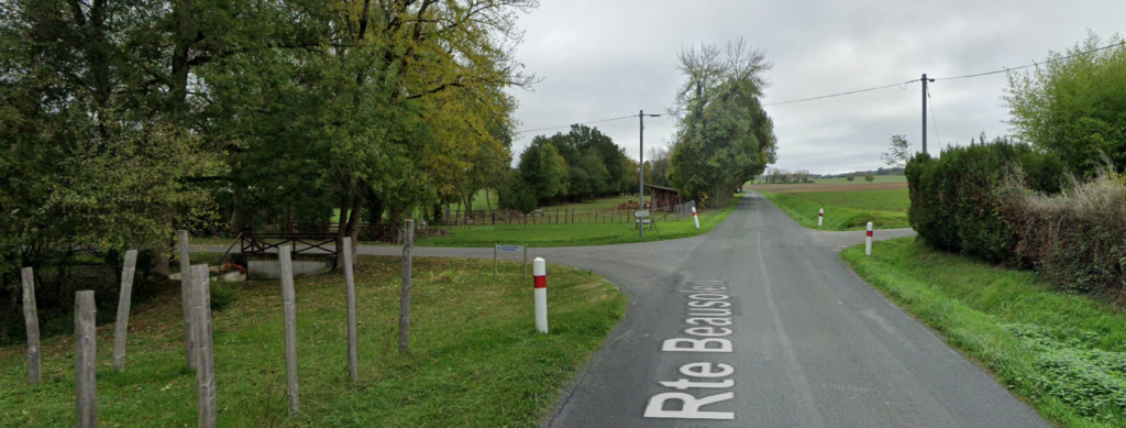
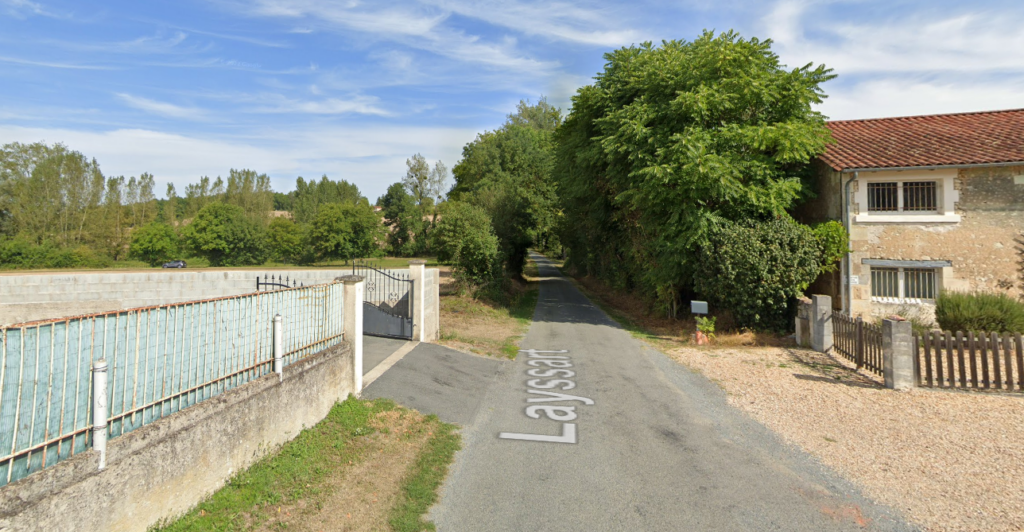
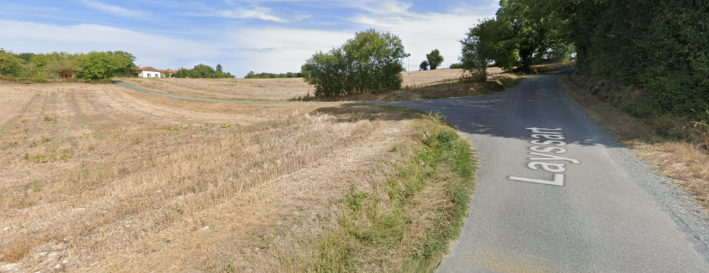
While viewing the map on Google the road leading to the Farmhouse is called Route de La Siguenie, however this is not its official name, as the road does not possess a name, merely referred to as “chemin rural no 28 (rural lane number 28)” by the government. The road named La Siguenie on the map below is on our property, it is the driveway of the principle house of the hamlet called La Siguenie.
Are you confused yet? Don’t worry, most map services still use coordinates so we provide them here in multiple formats, the following coordinates show the exact location of our front door:
Latitude and Longitude in Degrees, Minutes and Decimal Seconds (most commonly used in printed maps): 45°15’11.5″N 0°13’00.3″E
Latitude and Longitude in Degrees and Decimal Minutes (most commonly used in navigation systems): 45°15.192’N 0°13.005’E
Latitude and Longitude in Decimal Degrees (most commonly used in computer based maps): 45.253197, 0.216754
The ‘Whats Three Words’ coordinates are: ///obsolete.dictating.tout
How do I get there from Saint-Antoine-Cumond?
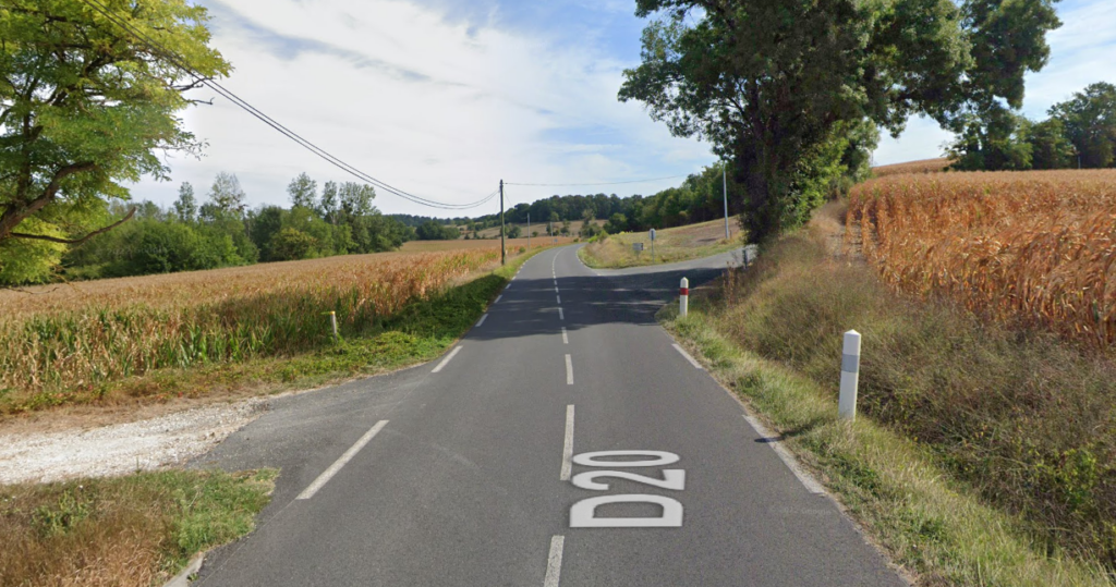
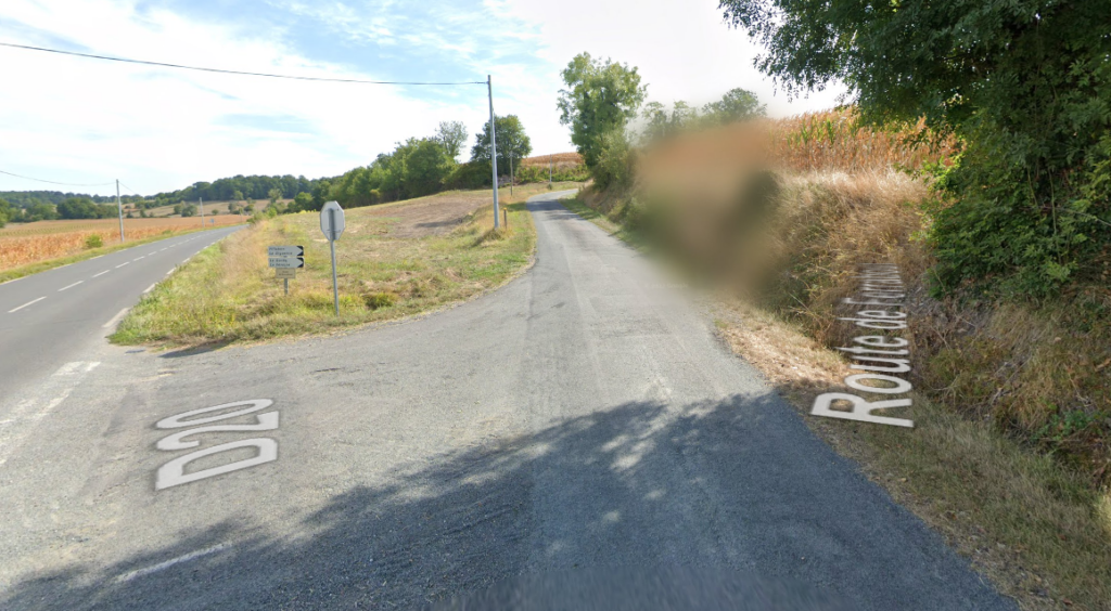
There are two ways to approach La Siguenie, one of them is from the D20 and the other is from the D43. You can also approach La Sig from the D100, but usually you should end up on one of the other two aforementioned roads, especially if you are approaching from Saint Antoine Cumond.
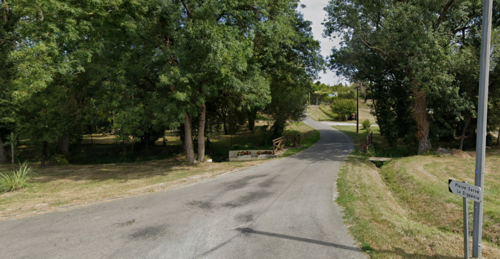
If you are on the D43 you want to keep following it south-east from Saint-Antoine-Cumond until you hit Pont de Pleine Serve. You want to turn left and cross a small stream, after this you want to keep left and pass through another small hamlet called Pleine Serve. Keep following this road (and don’t accidentally turn into someones driveway). After you pass through the hamlet take the first left (it will be after a couple fields). If you follow that road, LaSig will be the first building on your left. If you turn left once the road veers right you will end up directly on our driveway.


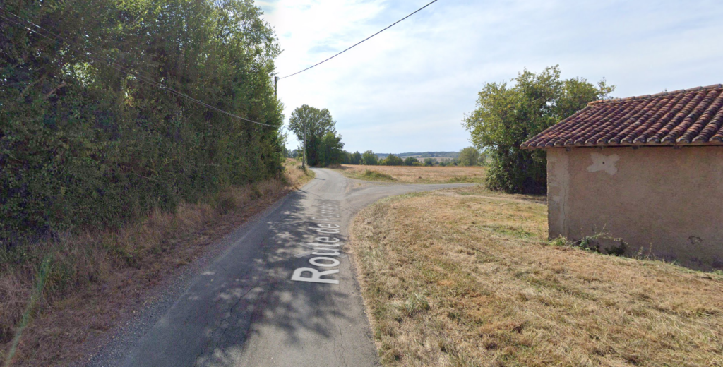
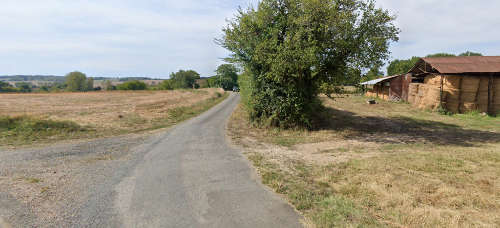
If you are on the D20 you will want to keep following it east from Saint-Antoine-Cumond until you hit the Route de Ferrabout. You want to turn right onto it and follow it through Villebon. Once you’ve left Villebon you want to ignore the first road leading right. Turn right once you see the barns close to the road and a rickity shed filled with hay. Keep following the road until it veers left if you keep going straight you end up directly on our driveway.

How do I get there by train/ plane?
The short answer is, you will need a car, not only to get to La Sig, but also to get the most of your trip. However you can rent a car from near the train station or the airport.
The largest Airport in the area would be Bordeaux International Airport. It’s about a 1.3h drive from there to La Sig, otherwise you can take a train into Bordeaux and take a train from there to Chalais.
If you are arriving by train you will arrive in either Bordeaux or Angouleme. From there you can rent a car or take a train further to Chalais. That is the closest train station, and a mere 15 minute drive from LaSig.